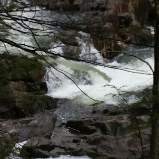
So that the information is easier to find, and stays organized (at least organized by whitewater boating standards), Bulls Bridge information will move to it's own blog at the following address:
http://crackonoon.blogspot.com/
At the top of the home page of that new blog are the following links to help people make informed decisions about the level and the choice to drive to the river.
My own correlations made in this current blog
http://totalwhitewaterfun.blogspot.com/p/bulls-bridge-painted-gauge-internet.html
Raw data from USGS with realtime flow
https://waterdata.usgs.gov/ct/nwis/rt
Correlations from AW website and other sources
http://bullsbridge.info/
A blog that centers around the CT/NYC scene at Bulls Bridge and the adventures of the extended whitewater family in the area. Not always whitewater, not always the Housatonic, but most of the time.....
Tuesday, March 28, 2017
Monday, March 27, 2017
Ten Mile is up, Bulls delayed
The rain made the Ten Mile river come up, which is what you see on the Gaylordsville guage. Bulls Bridge will probably come up a bit over night. Not sure how much. These images were captured at 1:15 pm today.
Sunday, March 26, 2017
Spring is starting to appear
Bulls Bridge is finally starting to move above fish flow (minimum flow). The level is not yet registering on the painted guage, but it is starting to get to those levels at which it is worth paddling to Ten Mile bridge and hiking back out. The trail still has snow, but is packed down enough for hiking. There is still ice on the trail. Wood is shifting in the river, but all main lines appear to be clear as of this post (scout and make your own decisions since woid moves all the time).
Subscribe to:
Posts (Atom)


